Unlocking Wetland Potential: Your Guide to USDA’s Wetland Mitigation Banking Program

farm near wetland

Introduction to the USDA Wetland Mitigation Banking Program (WMBP)
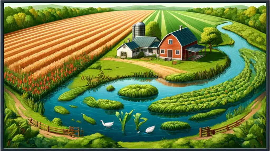
Illustration of a farm adjacent to a wetland.

The U.S. Department of Agriculture (USDA) has allocated nearly $5 million in grants to support the Wetland Mitigation Banking Program (WMBP). This funding enhances the restoration, creation, or enhancement of wetlands to offset impacts from other locations. Since 2016, over $12.4 million has been awarded to partners in 11 states, leading to the establishment of 21 wetland bank sites.

The USDA recently presented a webinar focused on the Wetland Mitigation Banking Program (WMBP), which supports the development of mitigation banks to restore, create, or enhance wetlands. The webinar provided detailed insights into the process and requirements for establishing a wetland mitigation bank, covering topics such as program overview, application process, site selection, interagency review, Mitigation Banking Instrument (MBI), monitoring and management, credit release and sales, and case studies.

Webinar Summary

The WMBP Applicant Webinar provides detailed insights into the process and requirements for establishing a wetland mitigation bank. The following key topics are covered:

1. Program Overview

Wetland mitigation banking is a market-based approach that involves restoring, creating, enhancing, or preserving wetlands to compensate for unavoidable impacts on wetlands elsewhere. The program aims to ensure no net loss of wetland functions and values. Mitigation banks offer credits to developers and other entities needing to offset their environmental impacts.

2. Application Process

The application process involves several critical steps:

  • Project Proposal: Outline the purpose, need, and benefits of the proposed mitigation bank.
  • Site Plan: Provide detailed plans including maps, design specifications, and ecological goals.
  • Financial Assurances: Demonstrate financial capability to complete the project and manage the site long-term.

3. Site Selection and Design

Selecting an appropriate site is crucial. Key criteria include:

  • Ecological Viability: The site should support the target wetland type and functions.
  • Hydrology and Soils: The site must have suitable hydrological and soil conditions.
  • Connectivity: Proximity to other wetlands or protected areas can enhance ecological benefits.

Design considerations involve creating a site plan that outlines:

  • Grading and Hydrologic Modifications: Ensure proper water flow and retention.
  • Vegetation Plans: Use native species to establish a resilient wetland ecosystem.

4. Interagency Review

The Interagency Review Team (IRT) plays a pivotal role in evaluating and approving mitigation bank proposals. The IRT typically includes representatives from:

  • USDA: Provides guidance on agricultural and conservation practices.
  • USACE: Oversees compliance with the Clean Water Act.
  • EPA: Ensures environmental protection standards are met.
  • State and Local Agencies: Address regional environmental concerns and regulations.

5. Mitigation Banking Instrument (MBI)

The MBI is a detailed agreement that outlines the terms and conditions of the mitigation bank, including:

  • Objectives: Clear goals for wetland restoration or creation.
  • Site Plans: Detailed maps and design specifications.
  • Credit Release Schedule: Timeline for when credits become available based on performance milestones.
  • Long-Term Management: Plans for ongoing maintenance and monitoring to ensure sustainability.

Public notice and comment are integral to the MBI approval process, allowing stakeholders to review and provide feedback.

6. Monitoring and Management

Continuous monitoring is essential to track the bank’s progress and ensure it meets ecological performance standards. Key aspects include:

  • Monitoring Plan: Outlines methods for assessing vegetation, hydrology, and wildlife.
  • Adaptive Management: Strategies to address unforeseen issues and make necessary adjustments to management practices.

7. Credit Release and Sales

Credits represent the restored or enhanced wetland functions and are released in phases as performance milestones are met. The process involves:

  • Performance Milestones: Specific ecological benchmarks that must be achieved.
  • Credit Sales: Developers and other entities purchase credits to offset their environmental impacts, providing financial support for the bank.

8. Case Studies

The webinar highlights several successful wetland mitigation banks to illustrate best practices and lessons learned. These examples showcase innovative approaches to site selection, design, and management that have led to successful restoration and long-term sustainability.

Conclusion

Setting up a wetland mitigation bank with the USDA involves detailed planning, interagency coordination, and commitment to long-term ecological monitoring and management. Adhering to these steps ensures the success and sustainability of wetland mitigation banks. For more information, watch the full webinar here.

Wetland Delineation Backlog

Swamp Stomp

Volume 14, Issue 32

On July 30, 2014 roughly 350 farmers from across eastern South Dakota attended a public forum with Natural Resource Conservation Service (NRCS) officials to discuss issues related to wetland delineations. The forum was spooned by South Dakota Farm Bureau, South Dakota Soybean Association (SDSA), South Dakota Corn Growers, and the South Dakota Farmers Union. As of July 1, 2014 the NRCS has reported that there are over 5,130 wetland determination requests in the Prairie Pothole region of the US waiting to be reviewed. South Dakota leads the backlog with over 2,993 requests.

NRCS estimates that it takes one to two years to process a wetland determination request given this backlog. It is the hope of both NRCS and the farmers to find a way to bring this time frame down to one year or less. Once a farmer does receive the wetland delineation, he or she has only 30 days to take action if an appeal is desired. This was a point of concern given that 30 days is a relatively short length of time. This is especially a problem if the appeal occurs during a farmer’s peak planting or harvest season.

“The number of people attending this forum speaks to the importance of finding a solution to the backlog and confusion over how wetland delineations are handled,” said Wayne Smith, Executive Director of the South Dakota Farm Bureau, which represents 14,000 farm, ranch, and rural families across the state. “These farmers are sincere in their desire to work with the NRCS, but they also want to be able to get information in a timely way and to know that that information is consistent and science-based.”

Much of the backlog is related to the current NRCS policy that all wetland delineations submitted by a consultant on the farmer’s behalf must be field inspected by NRCS. Even if this is a spot check the time to travel to the site and spend just a few minutes on-site really adds up when you look at the number so these inspections that must be done. If you allotted just 4 hours per site, which would include travel to and from the farm it would take over 6 years for one inspector to clear the current t backlog in South Dakota alone. There are three individuals listed as NRCS wetland specialists in South Dakota. So, if these three folks eat and sleep in the wetlands and only do inspections, they could easily knock this out in 2 years. They cannot go back to the office and must visit at least two sites per day.

I have run into some pretty intense work schedules in my nearly 30 years in the wetland delineation business. However this beats all. I do not see how anyone could ever keep up this regime without burning out.

These wetland delineations are being done for compliance with a variety of USDA agricultural programs. The USDA program is not a regulatory compliance program. The wetland delineations are done to help NRCS evaluate eligibility for a number of USDA subsidy programs. It is the current policy of the USDA to avoid wetland impacts to the maximum extent possible. A farmer who impacts a wetland runs the risk of losing farm subsidies and depending upon the date of impact could be forced to return prior subsidy monies.

If a farmer has impacted a wetland there is also the possibility of Clean Water Act (CWA) violations being discovered by the Corps and EPA. This too has severe labor concerns as there are far fewer regulators able to look at potential violation sites.

There have been a couple of suggestions to solve the review problem. One suggestion is to employ remote sensing technologies to confirm the presence of wetlands. Currently NRCS does do this to a limited extent. At issue is that many farmers have reported that when NRCS uses offsite methods more areas are determined to be wetlands then the on-site methods would reveal. The main issue is the presence or abscess of hydric soils. Many of the prairie potholes lack any hydric soil indicators and consequently are not wetlands.

In many cases even if the prairie pothole is a wetland it may be deemed isolated and not subject to wetland regulation under the Clean Water Act. However, USDA policy usually precludes impacts to wetlands whether or not they are waters of the US. Under current CWA rules isolated wetlands are not waters of the US. Under the proposed new CWA rules they would be jurisdictional. The new rules make it quite clear that all prairie potholes are waters of the US regardless of the presence of hydric soils.

The solution to the backlog seems to be found in the new CWA rules. If there is no dispute that prairie potholes are waters of the US, then there should be no reason for a backlog. Categorically these areas would be waters of the US and there would be no need for a wetland delineation. It would be fairly easy to identify the prairie potholes remotely as they do tend to stand out on an air photo. There would be no need for a soils investigation so there is no real reason to ever leave the office.

Perhaps this is a solution. Prairie potholes are a unique landform and offer a variety of ecological benefits. However, there is a significant economic impact to the farmers in this region if they have to develop a total avoidance practice. It may not even be possible for this to be achieved. Unfortunately, the new CWA rules do not address these economic impacts at all. The Whitehouse Office of Management and Budget (OMB) report on these new rules is focused entirely on the cost to manage compliance and never addresses the cost to the public. In my humble opinion there needs to be a balance between environmental stewardship and the economic impacts of that stewardship. In this case perhaps the non-wetland prairie potholes should be exempt from the CWA rules. However, this will bring the backlog back on line.

What do you think?